Stars, Sextants, and the Wilderness: How Meriwether Lewis Navigated America by the Night Sky
Imagine standing somewhere in present-day Montana in the summer of 1805. There are no roads. No cell signal, obviously. No map worth trusting. The nearest town of any size is hundreds of miles behind you, and the Pacific Ocean — your destination — might as well be a rumor. Now imagine that the most reliable thing you have is the sky above your head.
That was Meriwether Lewis's reality every single night of the Corps of Discovery expedition. And honestly? He was okay with it. Because Lewis hadn't stumbled into the wilderness unprepared. Before he ever set foot on a keelboat, he spent months in Philadelphia getting a crash course in celestial navigation from one of the sharpest scientific minds in early America.
The Teacher Who Made the Journey Possible
Andrew Ellicott doesn't get nearly enough credit in the Lewis and Clark story. He was a surveyor, an astronomer, and a man who genuinely understood the sky in practical, boots-on-the-ground terms. Thomas Jefferson — who orchestrated the entire expedition — knew that Lewis needed real navigation skills, not just a rough sense of direction. So he sent his young captain to Ellicott.
What Ellicott taught Lewis wasn't abstract theory. It was applied astronomy: how to use a sextant to measure the angle between the horizon and a celestial object, how to cross-reference that reading with a chronometer set to Greenwich Mean Time, and how to translate all of that into actual latitude and longitude coordinates on paper. The math was brutal by modern standards. But the stars themselves? Remarkably cooperative.
Ursa Major — the Great Bear, home constellation of the Big Dipper — sat at the center of this whole system. Not because it's the brightest constellation in the sky (it isn't), but because of what it points to. Follow the two stars at the outer edge of the Big Dipper's bowl — Dubhe and Merak, the so-called "pointer stars" — and they aim almost perfectly at Polaris, the North Star. Polaris sits almost exactly above Earth's geographic North Pole. Measure its angle above your horizon, and you've got your latitude. Simple in concept. Lifesaving in practice.
Reading the Sky From a Muddy Riverbank
Out in the field, Lewis took celestial observations constantly. His journals are full of them — careful notations made at campsites along the Missouri River, in the shadow of the Rockies, near the Columbia River basin. He'd set up his instruments, wait for the sky to clear, and go to work.
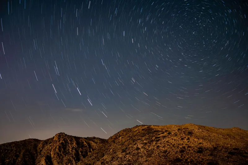
The process required patience. You couldn't just glance up and get a number. Lewis had to measure the altitude of Polaris at its highest and lowest points in its nightly circle around the celestial pole — a technique called finding the "meridian passage" — and average the results to get the most accurate latitude reading possible. He also observed the moon, Jupiter, and other bodies to help pin down longitude, which was significantly harder to calculate.
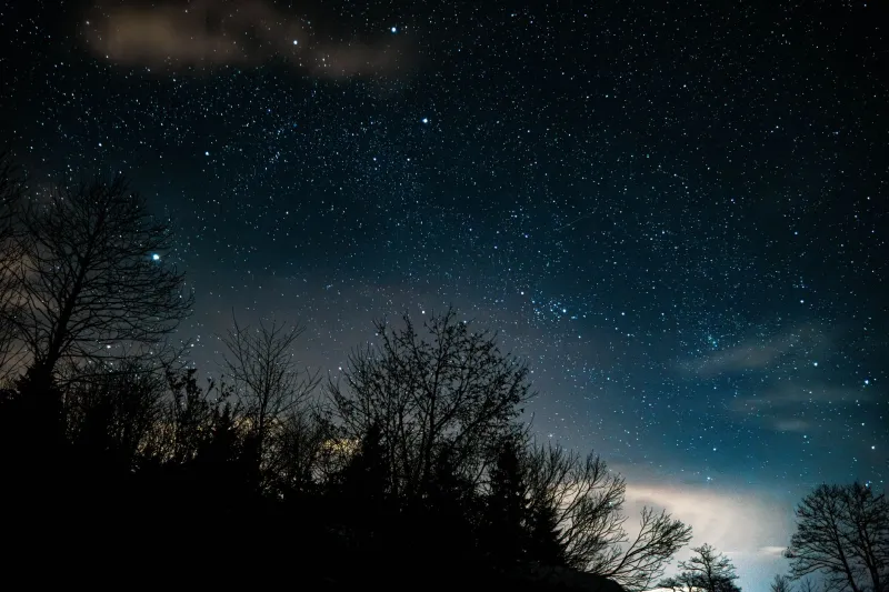
But Ursa Major was always there as a reference point. On a clear night in the American interior, the Big Dipper is unmistakable. It's huge, it's bright enough to find even with a modest amount of ambient light, and it rotates around Polaris like a slow clock hand. Lewis knew that no matter where he was, as long as he could find the Dipper, he could find north. And if he could find north, he could find himself.
Why This Mattered for a Young Nation
The stakes here go way beyond one expedition. Jefferson didn't send Lewis and Clark west purely out of scientific curiosity. He wanted the Louisiana Purchase — a territory the U.S. had just acquired from France in 1803 — mapped, understood, and claimed in a meaningful way. Accurate coordinates meant accurate maps. Accurate maps meant the United States could actually govern, settle, and defend land it technically owned but barely knew.
Every latitude reading Lewis scratched into his journal was, in a very real sense, an act of nation-building. The stars above the Missouri River were doing diplomatic work. Ursa Major, wheeling overhead night after night, was helping draw the boundaries of a country that was still figuring out what it wanted to be.
There's something almost poetic about the fact that the same constellation humans have been navigating by for thousands of years — across oceans, across deserts, across steppes — was also guiding the first official American push into its own western interior. The Bear has been a compass for a very long time.
Try It Yourself — No Sextant Required
Here's the good news: the core of what Lewis did is completely replicable from your backyard, your driveway, or any dark patch of grass away from streetlights. You don't need a sextant. You don't need a chronometer. You just need a clear night and a little patience.
Step one: Find the Big Dipper. On any night in the continental US, Ursa Major is circumpolar — meaning it never dips below the horizon. Look north. The Big Dipper will be somewhere in that general area, either scooping upward or scooping downward depending on the season and time of night.
Step two: Follow the pointer stars. Draw an imaginary line through Dubhe and Merak (the two stars forming the outer edge of the Dipper's bowl) and extend it roughly five times that distance. You'll land on Polaris — a moderately bright star that doesn't move. That's north. True north, not magnetic north.
Step three: Estimate your latitude. Hold your fist at arm's length. Each fist-width is roughly 10 degrees of sky. Measure how many fist-widths Polaris sits above your horizon. That number, in degrees, is approximately your latitude. If you're in Chicago, you should get close to 42 degrees. In Dallas, around 33. In Seattle, near 48.
Lewis would have laughed at how easy we have it. But the underlying astronomy is exactly the same. The star he used is the same star. The constellation pointing toward it is the same constellation. The sky, in that sense, hasn't changed at all.
The Expedition Ends. The Stars Don't.
The Corps of Discovery returned to St. Louis in September 1806 after more than two years in the wilderness. They had covered roughly 8,000 miles. They had survived winter in North Dakota, the crossing of the Rockies, and more close calls than any reasonable person would want to count. And they had done it, in significant part, by reading the night sky with the same tools and techniques that sailors, traders, and wanderers had been using for millennia.
Next time you step outside on a clear night and spot the Big Dipper hanging over the rooftops, think about that. Those same seven stars watched over one of the most audacious journeys in American history. They guided a small band of explorers through a continent that, to them, was essentially another world.
The Bear has always been a compass. Lewis just happened to need one at a particularly important moment.